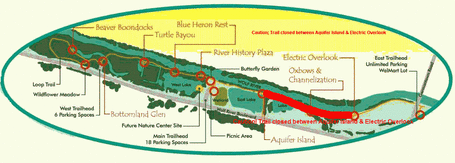
Trail Map
East Trail Head
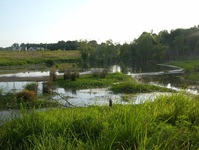
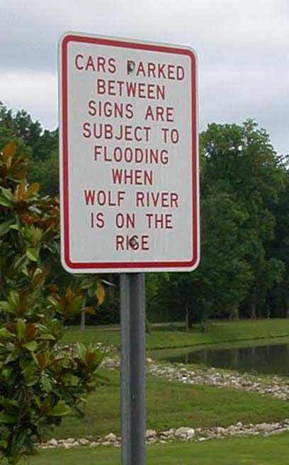
We will begin the afternoon of the final day on the Wolf River Nature Trail (East Trailhead). As we walk along the trail, there are a number of points of interest that we will note. First, the Chick-fil-a, and old Wal-Mart were built in the flood plain of the Wolf. It is possible and even likely that the river will overflow the current banks and flood these and other commercial buildings on this site and other sites along the river. Before these buildings were built, the area around the river was filled with swampy land called wetlands. Pictured right, is a wetland area that is still in existence along the Wolf River Nature Trail near the picnic area. Wetlands were once thought to be useless swamps filled with mosquitoes. Today, we know that wetlands are important for many reasons. Without wetlands, communities suffer from more flooding, lower wildlife stocks and polluted drinking water supplies.
The Wolf River and its wetlands are especially important to citizens in the Memphis area because the river itself and the wetlands surrounding it are a recharge area for the Memphis Aquifer. In the early days of Memphis, we received our water directly from the Wolf River. Today we obtain drinking water by pumping water from an underground layer of sand called the Memphis Sands. Water in the Memphis Sands is recharged by rainfall and floodwater that sinks into the wetlands and uplands around the Wolf River. Without the wetlands, an enormous amount of recharge land is lost.
Sand Bar
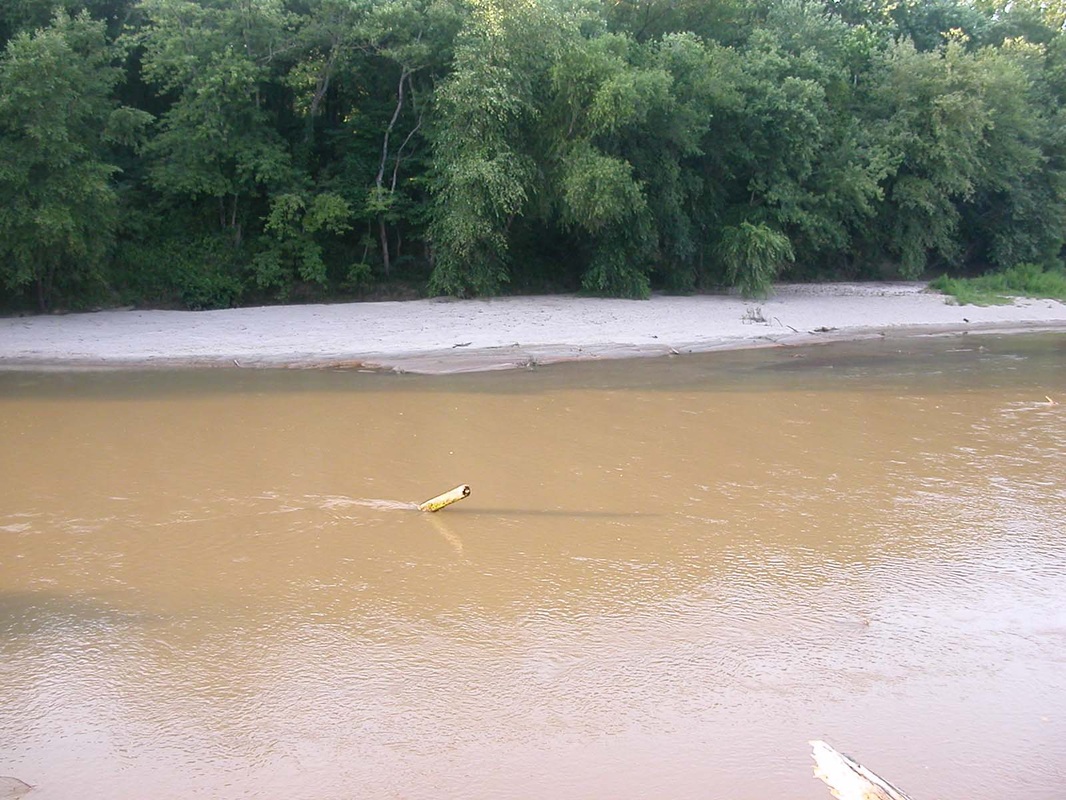
The sand of the Memphis Sands can be seen all along the river in Memphis. This sand which is under a layer of clay in Memphis is actually at the surface about 50 miles east of Memphis. It washes down river as sediment in the river. For more information about the layering of the Earth in and around Memphis, follow this link to Memphis Sands. Pictured left is a portion of the Wolf River near the "Channelized Zone". This area of the Wolf River was channelized in the 1800's to allow river boats to move upstream from the Mississippi River. Notice also the difference between the steepness of this bank compared to the one a.
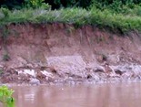
Channelized Zone and Current Erosion
Channelization has been found over the years to create an enormous erosion problem. Channelization and the normal cutting of the river itself has allowed you to see layers of the Earth not normally seen in Memphis. Notice in the middle of this photograph, a layer of white earth, this is sand from the Memphis Sands (which are buried under a clay layer in this portion of the state) and the layer above it is clay.
Fall Picture
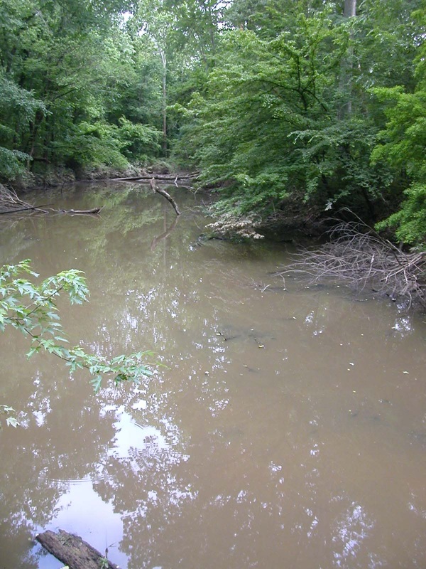
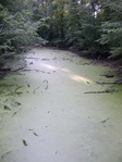
Another interesting feature that can be seen along the Wolf River and that is a result of channelization is this Oxbow Lake. This meander in the river was cut off when the river was channelized, thus creating a man-made oxbow lake. Here are two pictures of the same lake, one taken in the spring and one taken about 3 months later.
Spring Picture
Notice the green color in the second photograph. This growth is due to an excess in nutrients (nitrogen and phosphorous). These nutrients trigger an excessive growth of algae. Decomposition of this algae causes an extreme lowering of the dissolved oxygen, or "hypoxia" in the lake. Finally, hypoxia leads to death of plant and animal life in the water. It is theorized that the excess nutrients are produced by industry, agriculture and people in the areas draining into the lake.